Panama City Beach
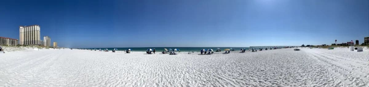
Panama City Beach has about 1,400 feet of developed, urban beach facing the Gulf of Mexico. Walkways and street-end easements to the 9 miles of beach maintained within the corporate city limits South (no parking): #25 - Shark Ln. #26 - Palm Ln. #27 - Bass Ln. #28 - Sandpiper Ln. #29 - Sunset Ln. #30 - Shady Ln. #31 - Perch Ln. #32 - Surf Ln. #33 - Gulf Ln. #34 - Tuna Ln. #35-39 - Closed due to construction North: #51 - Short St. (parking) #52 - Hill Rd. #53-59 - Front Beach Rd. (parking) #60 - Lake Cir. #61 - Front Beach Rd. #62 - E. Lakeview Cir. #63-73 - Front Beach Rd. #74 - S. Vestavia St. #75 - S. San Souci Blvd. #76 - Chateau Rd.
Location
Loading map...
Coordinates: 30.228886, -85.904034
Parking & Access
Access Typepublic
Amenities
parking
Activities
Fishing
Swimming
Accessibility Information
Easy access